


Antique Map of Wales, Belgian, Framed Atlas Excerpt, Elizabethan, Humphrey Llwyd
Our Stock # 26330
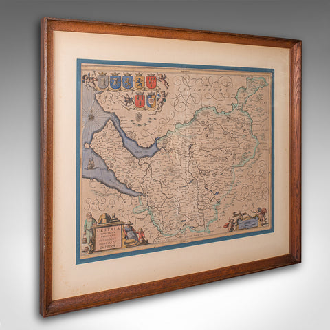
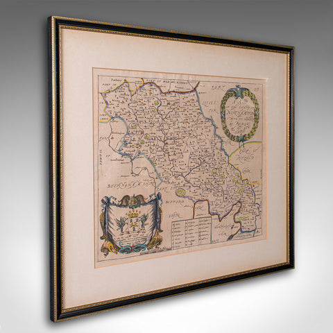
This is an antique map of Wales. A Belgian, framed atlas excerpt with dual sided mount, this example from the Theatrum Orbis Terrarum published in 1592 during the late Elizabethan period.
Full title: CAMBRIAE TYPUS - Auctore Humfredo Lhuydo - Denbigiense Cam brobritanno, translating into English as 'A Map of Wales, by the author Humphrey Llwyd of Denbigh, a Welsh Briton'
Recognised as the first ever published map that set Wales as its own region, Humfredo Lhuydo's 1568 original was added to the addendum of the Flemish cartographer Abraham Ortelius' atlas, Theatrum Orbis Terrarum, with the text entry compiled from Lhyudo's own manuscripts. This quality late-16th century example is from the 1592 volume, verified by the plate numbers on the reverse. This reverse aspect traces the origins of the Welsh people, discusses the etymology of the names Cambria and Wallia, outlines the boundaries of the historic principalities (Gwynedd, Powys, and Deheubarth), and details the language and customs of the inhabitants.
- A superb, historic map of the Renaissance period, ready to display
- Presents a desirable aged patina, in good original order
- Tasteful later frame with an ebonised and gilt finish
- Atlas excerpt is presented behind, clear bright glass in dual sided accent
- Printed in 1592 in Antwerp, at the city's famous printing house In Officina Plantiniana
- Excellent colour accentuates the decorative title cartouche, borders and maritime icons
- Presents three regions across Wales as it was in the 16th century
- Reverse hosts the fascinating atlas entry, and dressed with hanging wire for ease of mounting
This antique map of Wales is a truly excellent, exciting publication within the history of European cartography, offering an example of the very first published map of Wales as its own region, presented here as a culturally rich, high quality piece within a celebrated atlas. A treat for collectors and Welsh natives alike. Delivered ready to display.
Dimensions:
Max Width: 55cm (21.75'')
Max Depth: 2cm (.75'')
Max Height: 43.5cm (17.25'')
Map Width: 49.5cm (19.5'')
Map Height: 38.5cm (15.25'')
Share this Product
Delivery
We ship to the U.K. and internationally every week. We hand deliver most of our U.K. orders. Deliveries take approximately ten to fifteen working days to arrive at your door from receipt of order.
Internationally, our price includes our specialist packing service and all pre-shipment paperwork. We ship with all the major carriers; FedEx, UPS, DHL etc and shipments are fully tracked and insured. Deliveries take approximately ten to fifteen working days to arrive at your door from receipt of order.
|
UK Mainland
|
loading.. |
|
Europe
|
loading.. |
|
USA & Canada |
loading.. |
|
Rest of the World
|
loading.. |
|
Russia
|
- |