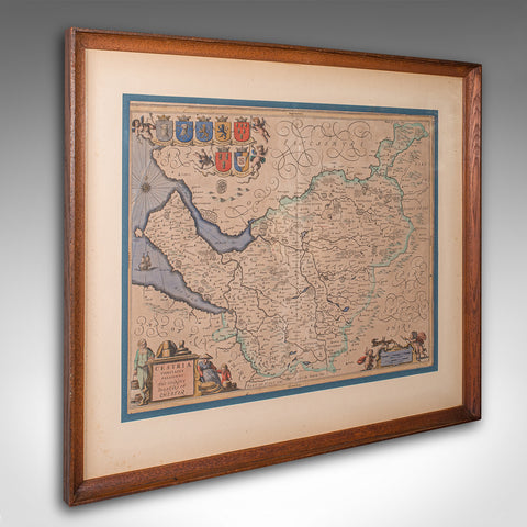
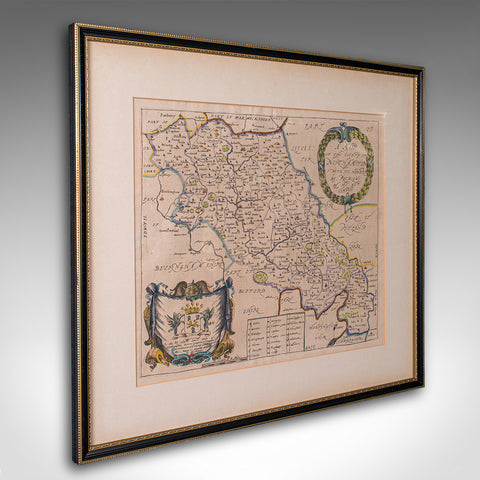
Antique Wiltshire County Map, Dutch, Framed Cartography, Latin, Blaeu, C.1650
Our Stock # 26102
This is an antique county map of Wiltshire. A Dutch, framed atlas engraving of cartographic interest by Joan Blaeu (1596 - 1673), dating to the mid 17th century and later, circa 1650.
Full Title: Wiltonia Sive, Comitatus Wiltoni - Ensis; Anglis, Wil Shire
- Superb 17th century lithography of Wiltshire and its county detail
- Presents a desirable aged patina and in good order
- Fascinating cartography, appealingly set within a quality, later frame
- Ebonised and finished with gilt detail, the frame hosts mounting wire to the rear
- Handcoloured and annotated with excellent town and county detail
- Mapped by the esteemed Dutch cartographer Joan Blaeu in high detail
- Except from Blaeu's Theatrum Orbis Terrarum sive Atlas Novus
- Accentuated with title cartouche, heraldic crests and figural detail
This is a fascinating antique county map of Wiltshire, with fine cartographic interest and period annotations in Latin. A treat for county residents or cartographic collectors. Delivered ready to display.
Dimensions:
Frame Width: 52.5cm (20.75'')
Frame Depth: 1.5cm (.5'')
Frame Height: 43.5cm (17.25'')
Map Width: 48cm (19'')
Map Height: 39cm (15.25'')
Share this Product
Delivery
We ship to the U.K. and internationally every week. We hand deliver most of our U.K. orders. Deliveries take approximately ten to fifteen working days to arrive at your door from receipt of order.
Internationally, our price includes our specialist packing service and all pre-shipment paperwork. We ship with all the major carriers; FedEx, UPS, DHL etc and shipments are fully tracked and insured. Deliveries take approximately ten to fifteen working days to arrive at your door from receipt of order.
|
UK Mainland
|
Free |
|
Europe
|
loading.. |
|
USA & Canada |
loading.. |
|
Rest of the World
|
loading.. |
|
Russia
|
- |